




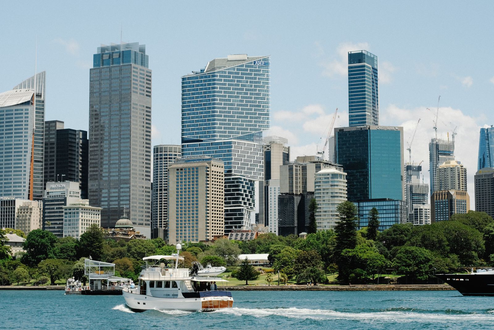


Sydney’s Red-Light District: Kings Cross History and a Public Walk
Kings Cross is the clearest historical starting point for Sydney’s red-light label. Use the City’s public walk; the old name is not a current venue map.
Kings Cross is a well-documented starting point for Sydney’s red-light-district history. The City of Sydney’s Passion walk offers a public route through Kings Cross and Woolloomooloo, so visitors can explore the city’s history on a named route.
The City’s Passion walk
The City describes Passion as a circular history walk from Kings Cross Station through Kings Cross and Woolloomooloo. Its history-walk page says the routes use numbered points of interest and take about one to two hours.
The City also offers Strip on the Strip, a booklet about bronze plaques along Darlinghurst Road. The plaques tell stories of residents, artists, entrepreneurs and business owners.
How Kings Cross acquired its nightlife reputation
In his 2011 history, Mark Dunn dates the rise of more nightclubs, topless bars and strip venues around Kings Cross to the late 1950s; Darlinghurst Road became known as “the Strip.” Dunn also links the Vietnam War years to US servicemen on rest-and-recreation leave in Sydney, many of whom visited Kings Cross bars and clubs. This is a period account: the Dictionary of Sydney was archived in 2021.
The Cross had a flexible footprint
The same entry distinguishes the four-road junction around Victoria Street, Darlinghurst Road and the William Street branches from the wider area sometimes called “the Cross,” extending toward Potts Point, Darlinghurst and Elizabeth Bay. That flexible historical use helps explain why descriptions can cover different neighboring streets.
One public landmark on Macleay Street
Fitzroy Gardens is at 60–64 Macleay Street in Potts Point. The City of Sydney records that the El Alamein Fountain opened there on 18 November 1961 and became a symbol of Kings Cross, giving visitors a concrete landmark within the wider area.
Getting your bearings
Transport for NSW lists Kings Cross Station at Victoria Street, Potts Point. Use its current trip planner to check departures for the date and time you plan to travel.
Sources
City of Sydney: History of Fitzroy Gardens


Content summary
Other blogOther blog
Related blogs

What to Eat in Hue — 10 Dishes Locals Actually Eat
Hue is Vietnam’s food capital and criminally underrated. Here are 10 dishes locals actually eat — where to find them and what they cost.
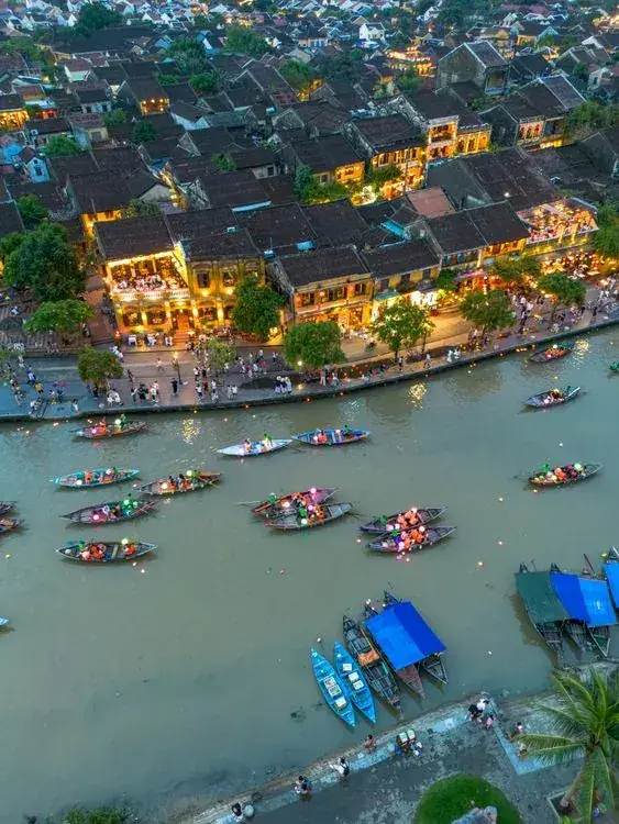
Where to Stay in Hoi An — Best Areas & Hotels for Every Budget
Old Town or the beach? Here’s the honest breakdown of every Hoi An neighborhood — what each one is like, who it suits, and real hotels at real prices.
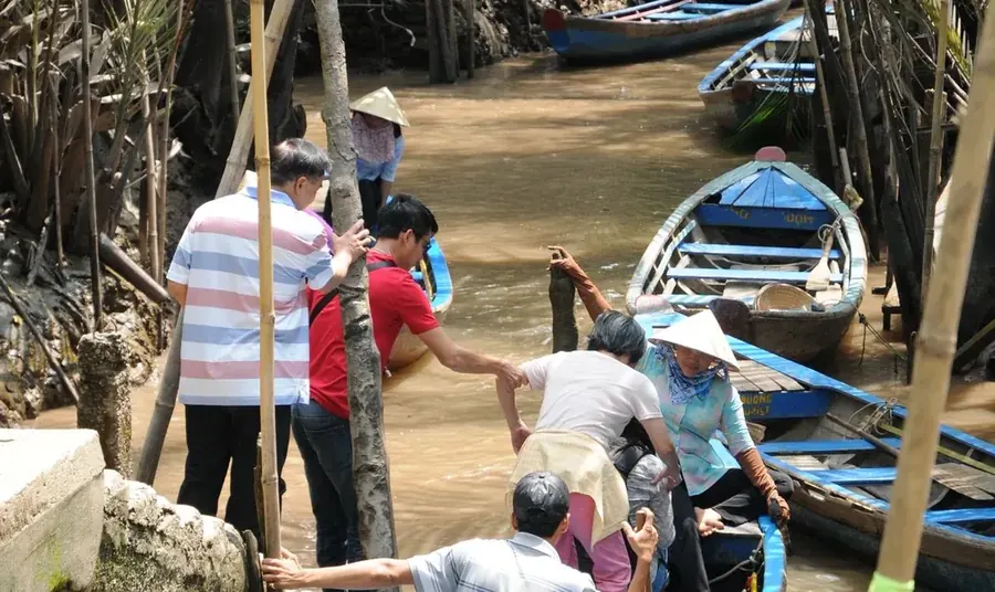
10 Best Things to Do in Ben Tre — Coconut Canals, Sunset Birds & Real Mekong Life
Only 85km from Saigon, Ben Tre is the Mekong at its most authentic. Here are 10 things to do — coconut canals, warm candy, sunset storks and food worth the drive.