




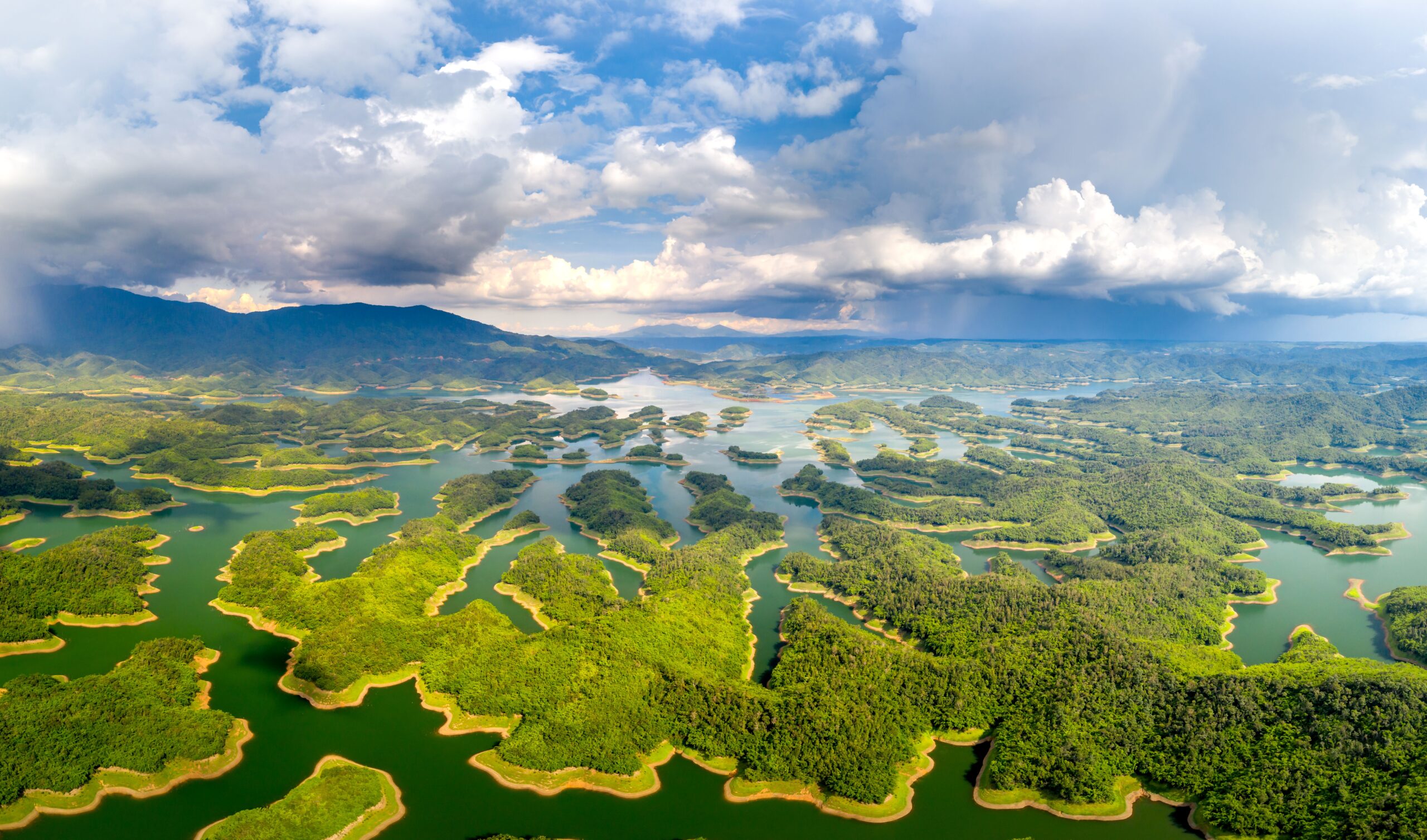


When to Visit Ta Dung Lake for High Water or Waterfalls
Ta Dung’s lake-water window and the wider geopark’s waterfall season overlap, but they are not the same promise. Choose dates by what you want to see.
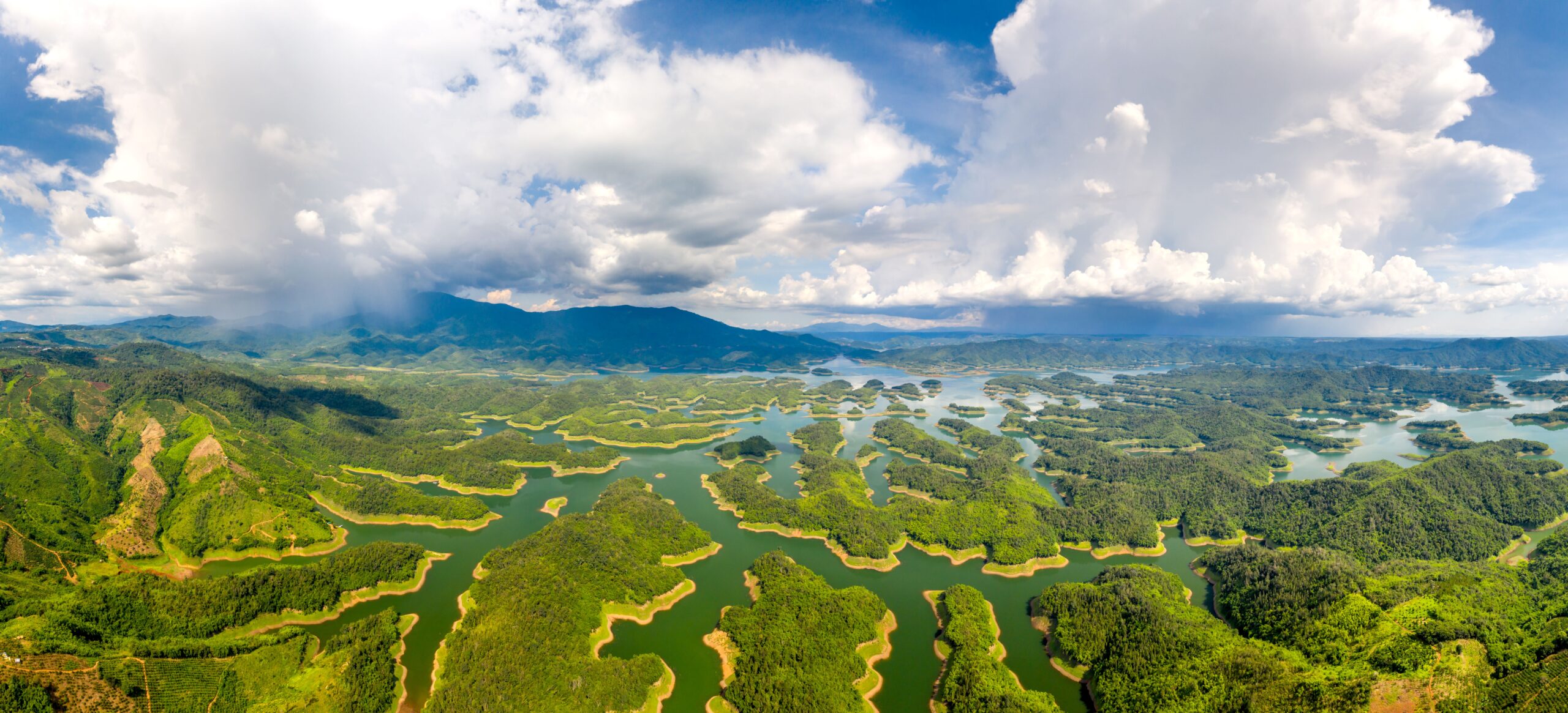
If your priority is Ta Dung Lake’s island scenery at higher water, published Vietnamese tourism guidance points to July–December. If you are going for waterfalls across the wider Dak Nong UNESCO Global Geopark, UNESCO describes a different window: the wet season from May to October, when showers are frequent and waterfalls are most spectacular. The periods overlap, but they describe different experiences and do not guarantee conditions on your dates.
The distinction matters because the lake is one feature within a larger landscape. The National Biodiversity Conservation Agency describes Ta Dung National Park’s lake-and-island ecosystem as a reservoir created by the Dong Nai 3 hydropower project. UNESCO’s seasonal note covers the wider geopark, not a live report for a particular waterfall, trail or boat trip.
Choose the date range for the scene you want
- For the lake and its islands: the Vietnam National Authority of Tourism’s Ta Dung guide, published on December 27, 2024, names July to December as the water-pouring season and says the water rises during this period. Treat that as seasonal guidance, not a current water-level reading.
- For waterfalls in the broader geopark: UNESCO’s Dak Nong Geopark page describes May to October as the wet season, with daily showers and the waterfalls at their most spectacular. That is a regional climate note, not a forecast or access update for an individual site.
- If you want to balance both: July through October falls inside both published ranges. November and December remain within the tourism authority’s stated lake-water period but outside UNESCO’s wet-season window. This comparison may help you choose what to prioritize; it does not promise dry weather, full water or an operating boat service.
Read the wet-season note at the right scale
Ta Dung Lake and the UNESCO Global Geopark are related but not interchangeable planning areas. The lake’s published month range is specifically about its reservoir scenery. UNESCO’s May–October note describes seasonal conditions across the wider geopark and its waterfalls. It does not say every waterfall peaks on the same day, or that rain improves every part of a trip.
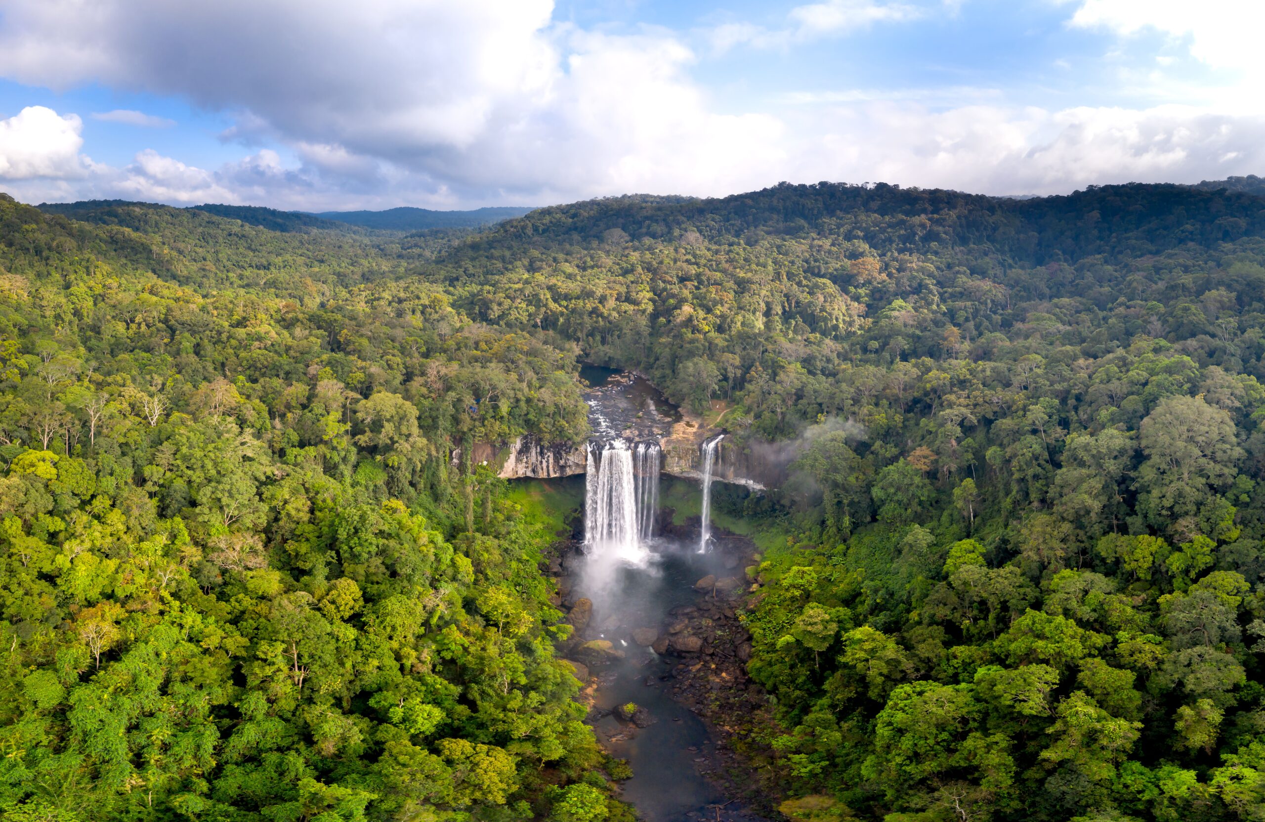
The waterfall photograph below is from Kon Chu Rang Nature Reserve in Vietnam, not Ta Dung. It illustrates the separate highland-waterfall discussion; it is not evidence of what any Ta Dung waterfall looks like or whether a trail is open.
Check current conditions before you travel
The official pages above give background and seasonal ranges, not a forecast or live operations notice. Before setting out, confirm current weather, boat availability and any park or trail access with the relevant local operator or authority. If the date of your trip matters for water scenery, ask what the lake looks like now rather than relying on a photograph or a month range alone.
The National Biodiversity Conservation Agency’s Ta Dung National Park overview explains the reservoir and island landscape. For another Central Highlands stop, see our Buon Ma Thuot guide; it covers a different mix of city, coffee and countryside choices.


Content summary
Other blogOther blog
Related blogs

What to Eat in Hue — 10 Dishes Locals Actually Eat
Hue is Vietnam’s food capital and criminally underrated. Here are 10 dishes locals actually eat — where to find them and what they cost.
Where to Stay in Hoi An — Best Areas & Hotels for Every Budget
Old Town or the beach? Here’s the honest breakdown of every Hoi An neighborhood — what each one is like, who it suits, and real hotels at real prices.
10 Best Things to Do in Ben Tre — Coconut Canals, Sunset Birds & Real Mekong Life
Only 85km from Saigon, Ben Tre is the Mekong at its most authentic. Here are 10 things to do — coconut canals, warm candy, sunset storks and food worth the drive.